Environmental Engineering Reference
In-Depth Information
The two main models used throughout the world are the one developed by Lied
and Bakkehøi [LIE 80] and the one developed subsequently by McClung and Lied
[MCC 87]. Both attempt to predict the extension (stopping position) of the long-
return period avalanche for a given avalanche path. Generally, authors have considered
avalanches with a return period of approximately 100 years. All these methods
rely on the correlations existing between the runout distance and some topographic
parameters. They assume that the longitudinal profile of the avalanche path governs
avalanche dynamics. The topographic parameters generally include the location of the
top point of the starting zone (called point
A
) and a point
B
of the path profile where
the local slope equals a given angle, most often 10
◦
(this point is usually interpreted
as the deceleration point of the path). The position of the stopping position (point
C
) is described using the angle
α
, which is the angle of the line joining the starting
and stopping points with respect to the horizontal (see Figure 2.4). Likewise,
β
is the
average inclination of the avalanche path between the horizontal and the line joining
the starting point
A
to point
B
.
To smooth irregularities in the natural path profile, a regular curve (e.g. a parabola)
can be fitted to the longitudinal profile.
Statistical methods have so far been applied to flowing avalanches. In principle,
nothing precludes using them for airborne avalanches. But in this case, one is faced
with the limited amount of data and their poor quality (airborne avalanches are rare
and the limits of their deposits are hard to delineate in the field). As an example of
statistical models, we indicate the results obtained by Lied and Toppe [LIE 89]. Using
regression analysis on data corresponding to the longest runout distance observed for
3,200
3,000
Stopping point
C
2,800
2,600
α
β
2,400
2,200
Starting point
A
2,000
500
1,000
1,500
2,000
2,500
Deceleration point
B
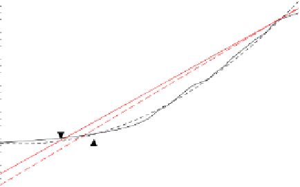
Figure 2.4.
Topographic parameters describing the profile. The dashed line represents the
fitted parabola


