Agriculture Reference
In-Depth Information
The climate of the area is tropical and is dominated by the northeast
(November-April) and southwest (May-October) monsoons with a dry period
between February-May. Tuguegarao in the Cagayan Valley lowlands has an average
annual rainfall of 1,649 mm (range 967 to 2,596 mm in the period 1975-2004;
PAGASA 2005). Rainfall is estimated to be considerably higher in the hilly
uplands and adjacent mountains up to 4,000 mm annually but reliable meteoro-
logical data is lacking.
16.2.2 Survey Localities
Eleven localities were surveyed within an area of 90 × 20 km (N-S × W-E) in the
human-altered landscape between the Cagayan River and the Sierra Madre forest
fringe (Fig. 16.1). All localities included a village with populations ranging from
six to 282 households. The localities varied from 0.1 to 18 km in distance to con-
tiguous forest and from 1.3 to 18 km in distance to bat-hosting caves (Table 16.1).
With elevation above sea level ranging from 30 to 250 m, all localities belong to the
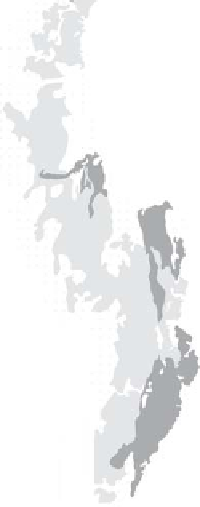
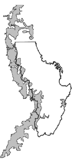
Cagayan
Province
Pacific
Ocean
Isabela
Province
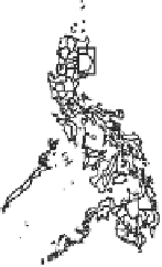
Fig. 16.1
Survey localities within the human-altered landscape situated west of the contiguous
forest of the Northern Sierra Madre in Isabela and Cagayan Provinces, northeast Luzon. The inset
shows the location of the study area within the Philippines


Search WWH ::

Custom Search