Geography Reference
In-Depth Information
Abstractions of the earth used in making projections.
maps of very large areas. However, because the spinning of the earth creates
a centrifugal force that causes the earth to bulge at the equator and flatten at
the poles, the distance from the center of the earth to any point on the equa-
tor is greater than the distance between the center of the earth and the north
or south poles. This more precise shape is known as an
ellipsoid
(but often
called a
spheroid
) and comes much closer to describing the actual shape of
the earth. It is accurate enough for most geographic information and maps
of smaller areas. Because of different weights of material in the earth's core,
differences in magnetic fields, and movements of the earth's tectonic plates,
very detailed measurements of locations use a geoid for projections. A
geoid
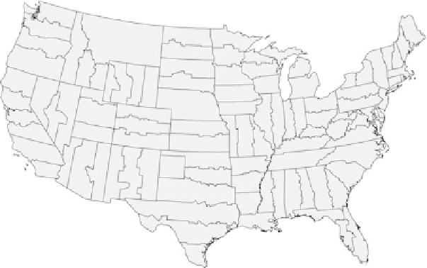
U.S. continental State-Plane Zones (NAD83). These zones are commonly used in
the United States for state geographic information activities and are often defined by statute.


Search WWH ::

Custom Search