Geography Reference
In-Depth Information
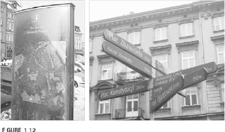
A combination of maps and signs located on city streets helps people with finding
their way in many cities helping people understand the cartographic representation of the city and
relate it to their experiences.
with the frameworks and conventions, then maps are very complex and hard
to read. That's why in places where almost all people need to use a map (at
some point), that map is usually very simple and shows a specially high-
lighted symbol where you (and the map) are. Geographic information and
most maps lack these. They are very frustrating to use without understand-
ing the framework and conventions of maps and geographic information. Of
course, we need also to consider the cultural biases and ideologies of maps.
Many a European map of newly discovered areas conveniently erased most
traces of aboriginal inhabitation; later, many Western maps showed reli-
giously significant sites with blatant disregard. Because maps and geographic
information are often the only sources of detailed geographic information,
many people accept them as the best indications, even though biases may be
great and the cartographic communication only partially works.
Quality and Choices
A common ward to describe the reliability and integrity of maps and geo-
graphic information is “quality.” Most people consider a highway map to
have good quality if they can use it to find their way easily. It may not be
good to find the way to a hotel in the center of the city, but it is very useful
for finding the way from Los Angeles to Portland. Simply said, good-quality
geographic information or maps are useful for the purpose we create or
intend to use them for. Quality usually means reliability, but in regard to
maps it often also means that the map maintains integrity regarding the
world and fits the use we intend the map for. We could turn to some highway
maps to figure out the size of towns in a state, but most highway maps will

Search WWH ::

Custom Search