Geography Reference
In-Depth Information
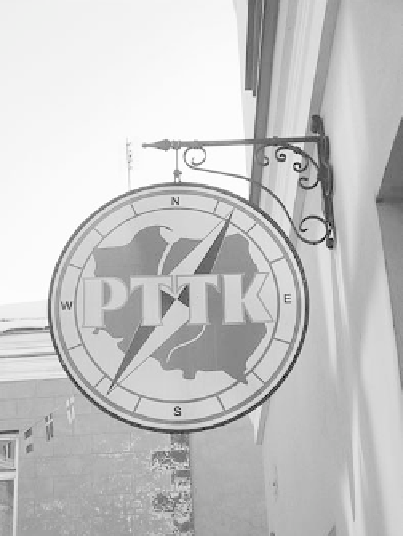
The power of maps is significant for
associating organizations with a nation or region. This
sign for the Polish Tourist Association uses an iconic
representation of Poland's national boundaries.
Perhaps the second elementary reason why maps are so powerful is that
they represent something beyond our own limited experience: other people
and places you may never see in person, other things or events that we may
never know about otherwise. They became a key source of information
about people and places we can't experience because of distance or because
of complexity. Maps become a primary source of information for many
things since we often cannot verify what they tell us. Is the Eiffel Tower
located at the center of Paris? Unless you are in Paris or will be shortly that
cannot be determined except by using a map.
The power of maps comes through their ability to create representa-
tions of the world that most people won't question because they lack the
direct experience of the people or places, things, or events to evaluate the
representations. It is very hard to know that a representation implicitly
makes a threat out of a neighbor, errs in creating symbols that mask impor-
tant details, or explicitly shows a part of the world in a biased manner. Using
red to show the country of one's enemy awakens a sense of menace because
most people associate the color red with danger. Showing a country in green
has the opposite impact. Because they follow frameworks and conventions
that we have become used to, slight distortions are easily veiled and become
undistinguishable.
Maps are often misused and have become important tools for propa-
ganda and advertising (see Chapter 11). Extreme examples clearly show
abuse of cartographic integrity, but you also need to be wary of more com-
mon and subtle misuse of map power to create biased representations.


Search WWH ::

Custom Search