Geography Reference
In-Depth Information
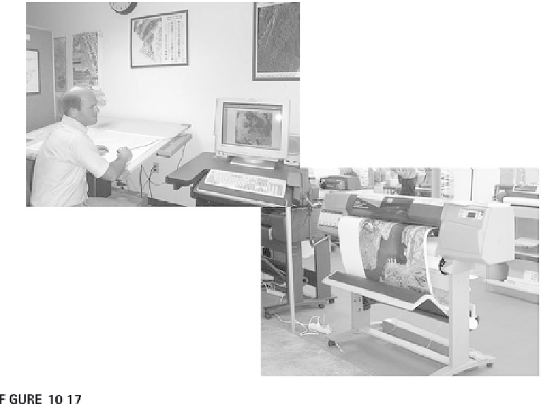
GIS digitization, viewing, and plotting equipment.
Above, from
www.epa.gov/ada/about/thumbnails/gis.htm
.
equipment supports a much lower resolution (e.g., the 300 dpi of most large-
format color ink-jets), then the print quality difference will be noticeable, but
is usually not enough to distract from engineering or planning applications.
COMMUNICATION GOALS
Clearly the choices of media, format, and output depend on costs and avail-
able resources, but the communication goals remain the most important.
Whenever possible, the communication goals of a map or visualization
should be taken into account at the beginning of working on the geographic
representation and cartographic representation.
Depending on media and format, the same communication goals may
require different geographic representations. Advertising for a new clothing
store in a monthly magazine will need a different map than the store loca-
tion map on a website or available for cellphone users on request. There is
rarely a need to create three different geographic representations to support
these different communication goals, but it is beneficial if the geographic
representation can consider the goals and create GI to support them all.
The early work on a geographic representation dovetails well with work
on a cartographic representation that supports different communication
goals. Generalization offers some flexibility for using GI in different ways,

Search WWH ::

Custom Search