Geography Reference
In-Depth Information
people. Maps rely on geographic information. Geographic information is, of
course, very different from maps in many ways. One of the most fundamen-
tal differences is that geographic information is very, very easy to change,
whereas maps, if changed, are usually somehow destroyed. This means that
geographic information can be used many times, which gives it a great
advantage over maps.
Indeed, many geographers and cartographers would claim that geo-
graphic information makes geography and cartography more accessible than
ever before. Farmers use global positioning system (GPS) technologies and
satellite images to help disperse fertilizers and pesticides more accurately,
safely, and economically. Fire departments route fire trucks to their destina-
tions based on analysis of road networks and real-time traffic information.
You may even have had the chance to experience these changes or to use
GPS when navigating a boat, planning a trip, or driving a car. Many cars now
come equipped with satellite navigation systems that rely on dashboard map
displays to help drivers find their way. GIS is used also in many research
facilities and offices to help analyze and manage resources. Improved geo-
graphic and cartographic technology has played a key part in important eco-
nomic developments not only now, but in the past as well. The astrolabe
used by navigators in the Middle Ages changed the way locations were deter-
mined and mapped; exploration consequently became more accurate and
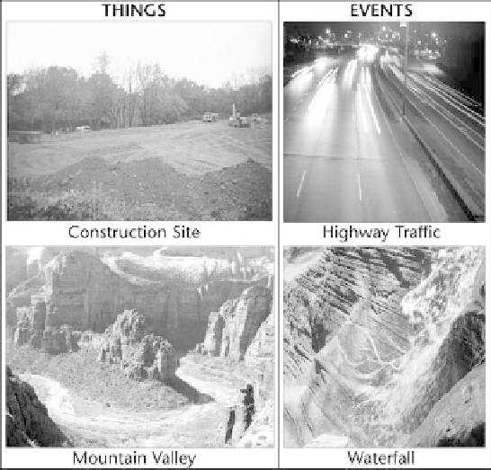
Geographic information and maps show things and events from built and natural
environments. The primary difference is change. Things are static for the observer, whereas events
record selected moments of a process.


Search WWH ::

Custom Search