Geography Reference
In-Depth Information
system, except that the origin point lies at the center of the coordinate
space—for example, the theoretical center of a sphere.
A two-dimensional plane of
x
,
y
coordinates that correspond to latitude
and longitude coordinates is often used by GIS to represent the entire world
at once, but it introduces such grave distortions that it should only be used
for browsing.
Global grids follow a different approach to creating a global grid, usu-
ally based on hexagons or octahedrons, to subdivide a sphere hierarchically
into smaller and smaller triangular facets. These coordinate systems are still
rather uncommon—they are mainly used for satellite tracking and studying
global processes—although the advantages of these systems are significant.
Scales and Transformations
Any map you will ever see has a scale. It may be only implicit, as in a graphic
artist's rendering of a summer festival site, or a city's advertising map, but
more often you'll find explicit scales. An important question for the use and
creation of geographic information and maps is: What is the appropriate
scale? A scale too small, that shows a large area, will require that small spe-
cific things and events be removed, whereas a large scale may lead to impor-
tant contextual information being left out. To work well with scale it is criti-
cal to familiarize yourself with different ways of representing the relationship
between a distance unit of geographic information on a map and the corre-
sponding distance unit on the ground.
Scale is shown for geographic information and maps in three ways:
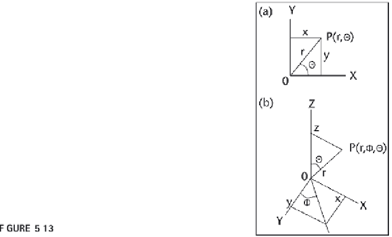
Two-dimensional polar coordinate systems.

Search WWH ::

Custom Search