Geography Reference
In-Depth Information
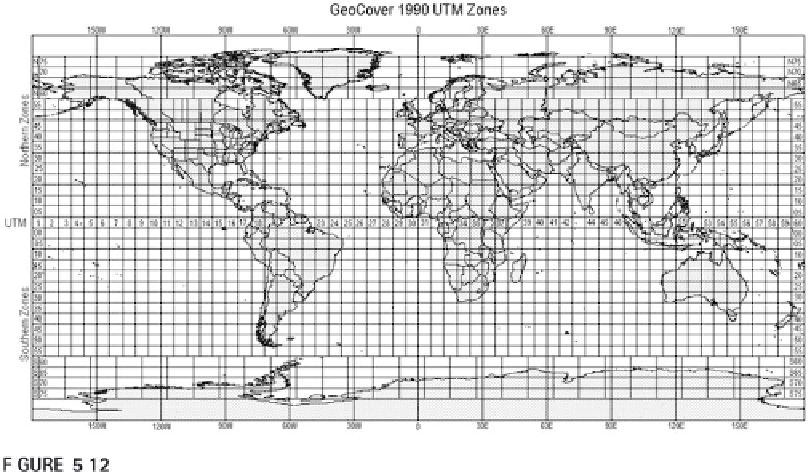
UTM zones.
From
https://zulu.ssc.nasa.gov/mrsid/docs/gc1990-utm_zones_on_worldmap.gif
ments from GRS 1980 and coordinates from the International Earth Rota-
tion Service.
Smaller countries generally use only one projection and geoid for the
entire country. People who live here (and use only local maps) may never
even have to learn about projections and be concerned with how to combine
data from different projections.
Polar Coordinate Systems
Polar coordinate systems are necessary in areas around the poles, but can be
used for specialized applications in other areas as well. A two-dimensional
polar coordinate system records locations based on an angle measurement
(azimuth) from the central point, the pole, of the coordinate system and a
distance to that point. A three-dimensional coordinate system records loca-
tion with two angle measurements and the distance to the measured point
from the center. One angle measurement records the horizontal angle on
the XY plane, the other records the angle on the Z plane.
Spherical Coordinate Systems
A basic spherical coordinate system records the location of things and events
using three values:
x
,
y
, and
z
.
x
stands for the east-west coordinate value,
y
for the north-south coordinate value, and
z
for the elevation in relationship
to a reference height. It is similar to a three-dimensional polar coordinate

Search WWH ::

Custom Search