Environmental Engineering Reference
In-Depth Information
gas in the case of oxygen mode), but also
enhanced combustion features under user direc-
ted microprocessor control to further optimize
the combustion step for the widest variety of
samples.
N and 82
°
14
′
-
82
°
22
′
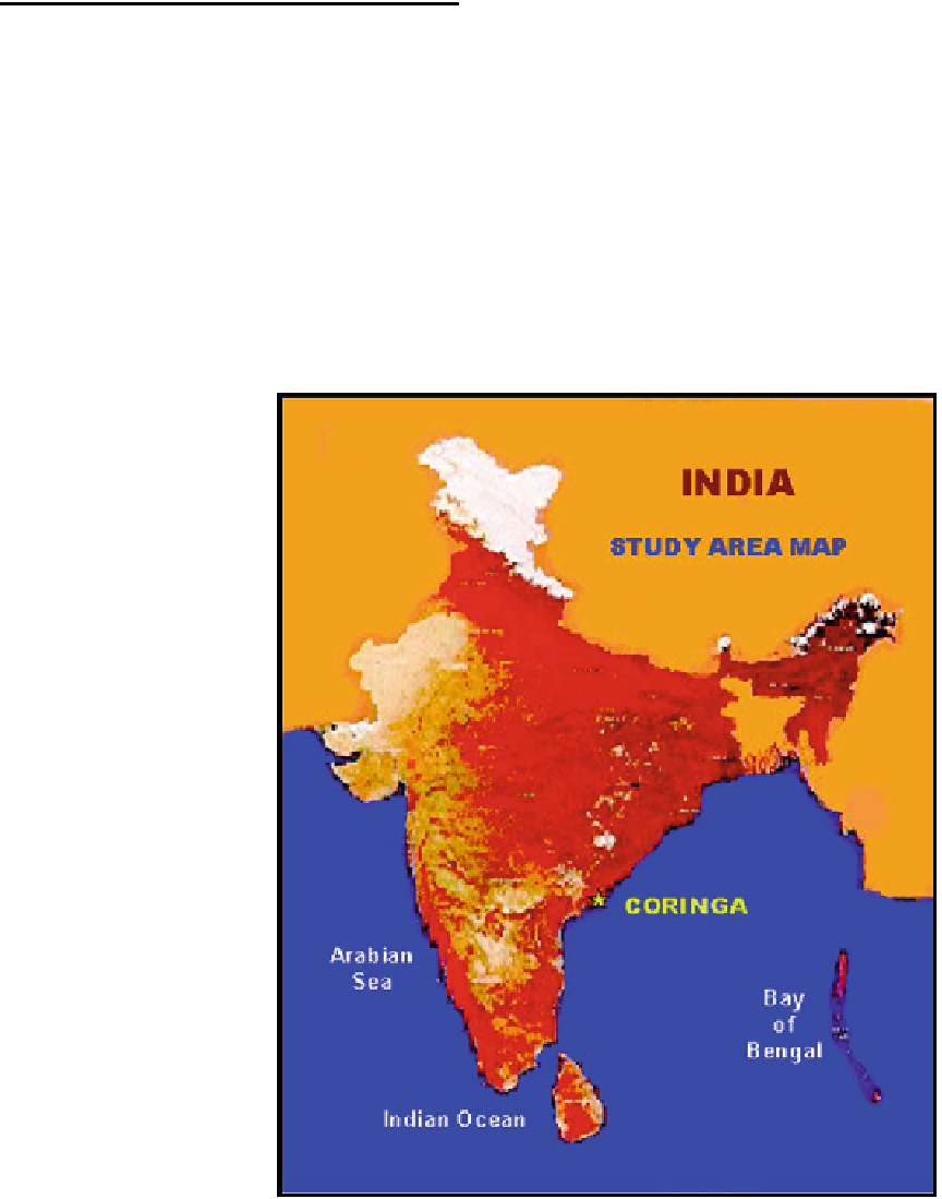
E) is in the south of Ka-
kinada Bay (Fig.
3.9
).
The mangrove ecosystem receives freshwater
from four sources, namely (i) Coringa River (ii)
Gaderu River, (iii) Distributaries of Gautami-
Godavari River and (iv) neritic waters from Ka-
kinada Bay.
The major threats operating on mangroves of
Coringa are tabulated in brief (Table
3.4
).
The assessment of the health of the man-
groves was scanned through satellite data of
1988 IRS 1A and 1998 IRC 1C using ERDAS
Image Processing Software along with ground
truth veri
3.3
Case Studies
3.3.1 Assessment of Blue Carbon
Through Remote Sensing
The blue carbon can also be assessed through
remote sensing. A case study from critical habitat
information system for Coringa mangrove in
Andhra Pradesh (India) (DOD
2001
) reveals that
mangroves have been severely depleted in this
region. The Coringa mangrove situated about
150 km South of Visakhapatnam (16
cation. Land-Use Maps of 1988 and
1998 were analysed to detect the variation using
the overlay facilities of GIS. Table
3.5
(Fig.
3.12
)
reveals the major land-use/land cover features
and their respective area in 1988 and 1998 within
Coringa Reserve Forest and its extension.
°
44
′
-
16
°
53
′
Fig. 3.9
Location of
Coringa mangrove
ecosystem