Environmental Engineering Reference
In-Depth Information
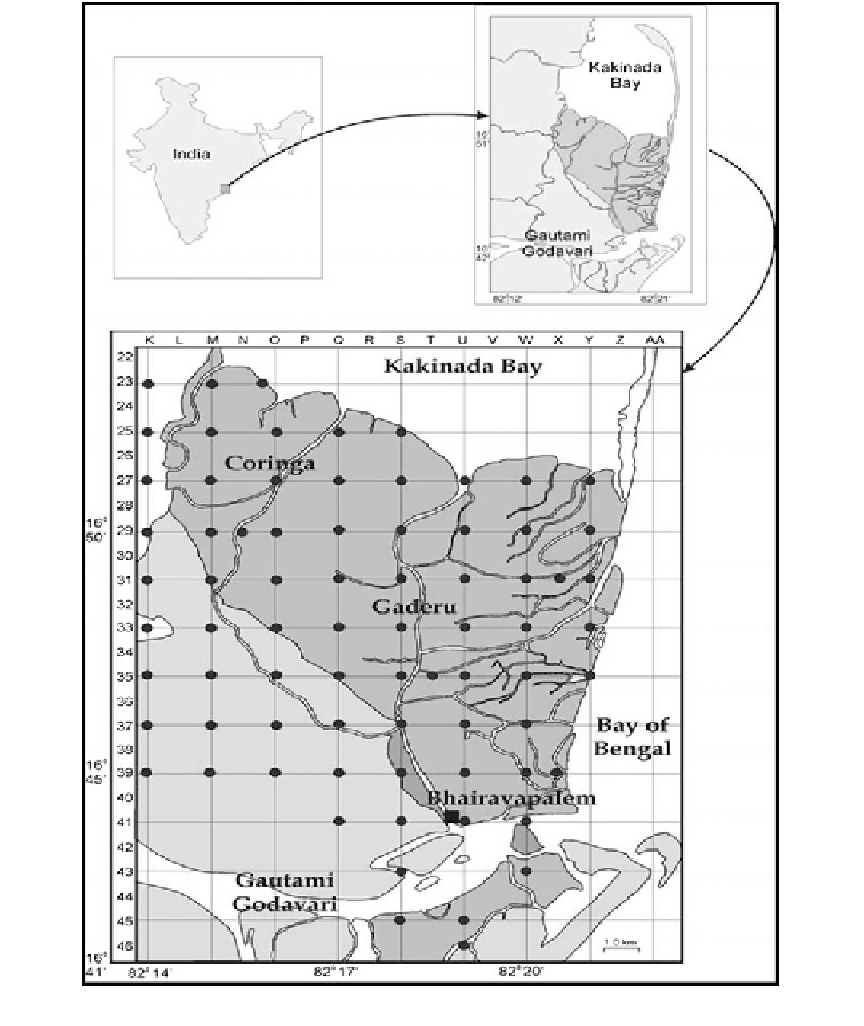
Fig. 3.6
Mangrove areas in Gautami-Godavari river (dark shaded area refers to mangroves)
(20.2 %). In 1977, the forest cover (dense man-
groves and open mangroves) accounted for about
194.8 km
2
(Table
3.3
; Fig.
3.8
).
The land-use map exhibits dense mangroves
(represented by shinning green colour), open
mangroves (represented by dull green colour),
Output
From land cover map of the year 2005, it may be
seen that water bodies (sea/rivers/streams/canals/
reservoir/tank) in the study area constitute
44.1 % of the area. Another major feature is most
of the inland area is under intense agriculture